Next Launch
- April 20th 2024
Important Updates
- April Launch is GO! Thank you Mike Smith!
Dashboard

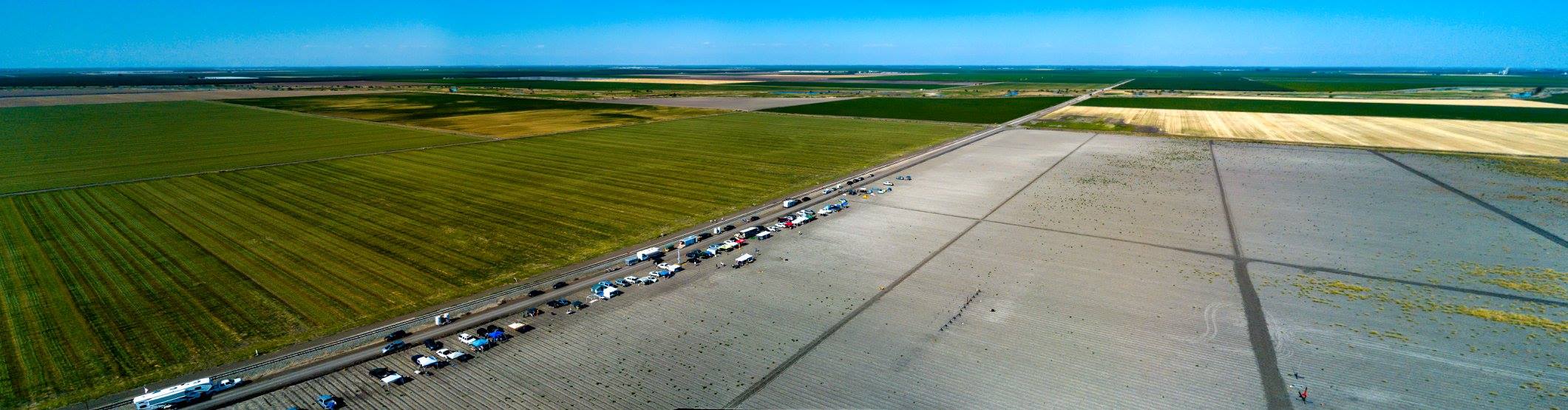
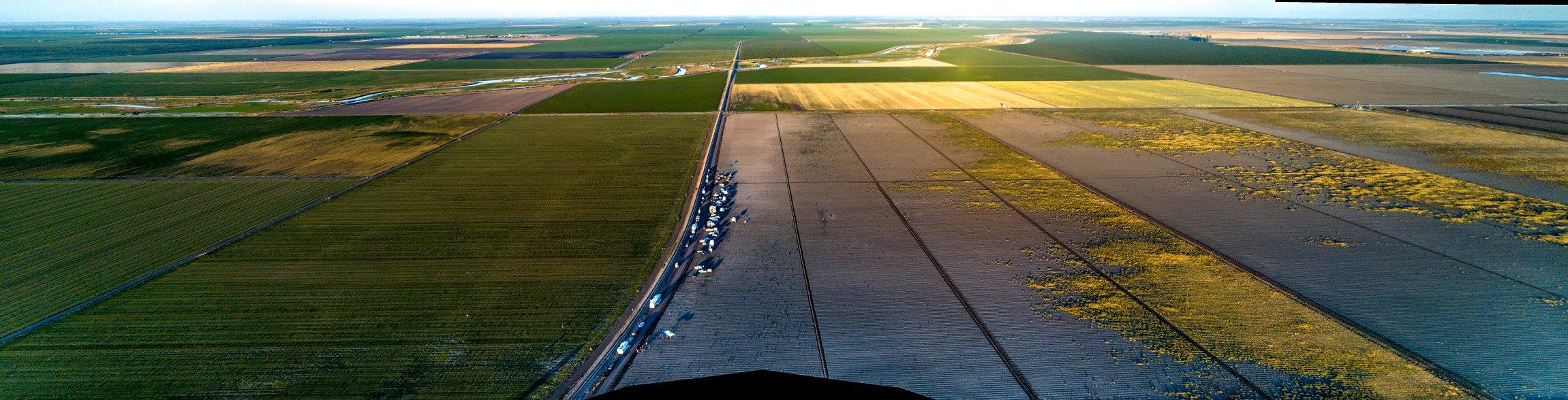
Northern Californias Premier Site for High Power Rocketry


© 200-2016 Tripoli Central California. All Rights Reserved.
You must be logged in to post a comment.